
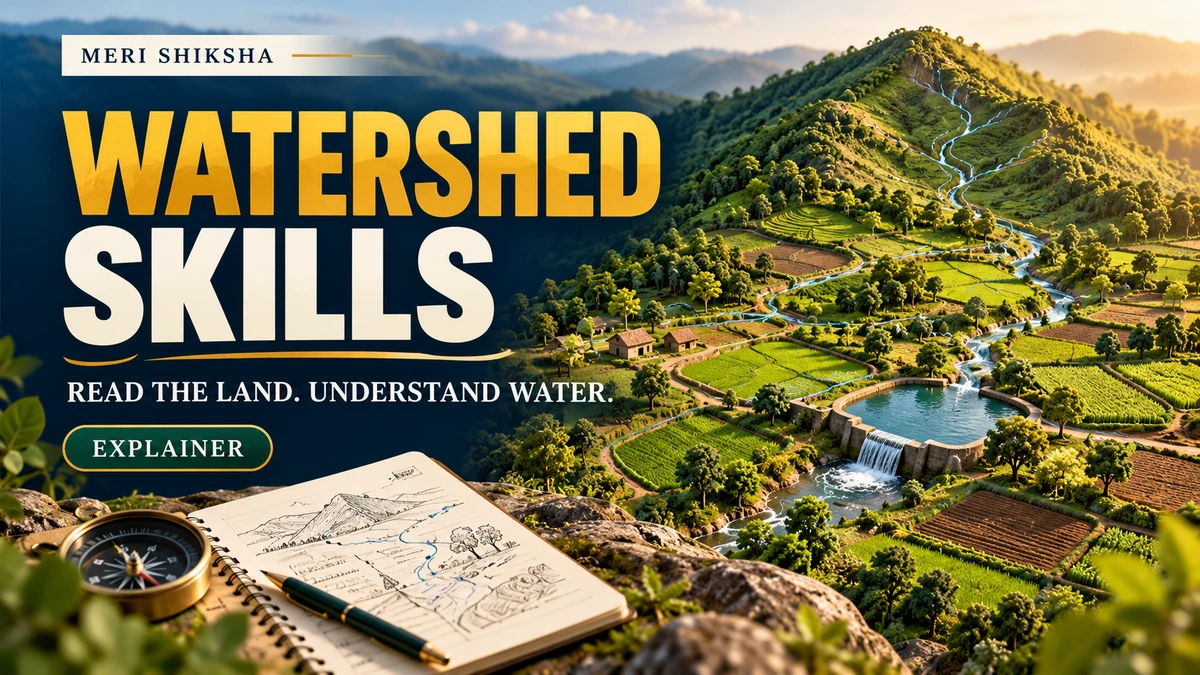
A watershed is easier to understand when you follow the land rather than a farm boundary. Ask where rainfall flows, what it passes through and who uses the water farther downstream. Those questions turn “soil and water conservation” from a chapter heading into something you can investigate.
The subject is timely: ICAR-IISWC, Dehradun, reported the inauguration of a three-day farmer training programme on 22 October 2026. It focused on agricultural diversification and livelihood improvement through watershed management, combining classroom learning and field exposure for 20 farmers from Punjab.
Status check: the source is a report about an already inaugurated training programme. It is not an open student registration notice. The student activities below are editorial learning suggestions.
Think about a connected drainage area
FAO's watershed management module describes a watershed as an area drained by a watercourse. It connects land use, water and livelihoods across upstream and downstream locations. The scale can range from a small catchment to a much larger basin.
For a student exercise, begin with a sketch and a question, not a proposed structure. You might ask: “What evidence would help explain why water gathers at this location?” Mark uncertain features as uncertain until you can check them.
Five useful observation prompts
| Look at | Record | Question to take back |
|---|---|---|
| Terrain | A sketch of higher and lower areas and observed drainage paths. | Which directions are observed, and which are only inferred? |
| Land cover | Crop cover, bare patches and changes between locations. | What other information would help explain the pattern? |
| Visible condition | Location and permitted photographs of rills, deposits or standing water. | When did the feature appear, according to local accounts? |
| Existing intervention | Its stated purpose, maintenance arrangements and observed condition. | What evidence would show whether it meets that purpose? |
| People and use | Different users' descriptions of the same water problem. | Whose experience have you not yet heard? |
Write observations and explanations in separate columns. “Water was present during our visit” is a direct observation. “This field always floods” requires evidence beyond that visit. A useful field note preserves the difference.
Make a case study small enough to finish
- Agree the scope. Choose an accessible site and a question your supervisor considers suitable.
- Prepare a base sketch. Label the scale and the source of any map. A rough sketch should not be presented as a surveyed plan.
- Record evidence consistently. Date observations, use units for measurements and note the method. Ask permission before recording people or private locations.
- Compare accounts. Ask how conditions change between seasons and which parts of the answer are based on memory.
- Write a conclusion with a next step. Explain what you learned, what remains uncertain and what further observation could help.
A clear case study can contain a map, a short observation table and one carefully argued paragraph. The goal is to demonstrate reasoning, rather than to fill pages with generic conservation measures.
A field exercise is not an engineering recommendation
Do not choose the dimensions or location of a bund, pond, channel or other structure from this guide. Design decisions require site-specific assessment, technical competence and the applicable permissions.
Similarly, a before-and-after photograph does not establish that a particular intervention caused a yield or water improvement. Explain changes in observation conditions and seek guidance on an appropriate comparison before making a causal claim.
The final report should make clear whether each statement comes from a measurement, an interview, a source or your interpretation. That habit makes the work easier for a supervisor to review and easier for you to defend.
Questions students ask
Kya 22 October wala training students ke liye open hai?
Official report selected farmer participants ke programme ke baare mein hai. Ismein open student application announce nahi ki gayi.
Kya phone map se watershed design bana sakte hain?
A learning sketch bana sakte hain, lekin use surveyed engineering design na batayein. Technical design ke liye qualified supervision aur site assessment chahiye.
Ek visit ka useful output kya ho sakta hai?
Ek focused question, dated observation table, labelled sketch aur honest limitations note achha starting point hai.
Continue your field learning
Sources
Checked 26 October 2026. The case-study template is an editorial suggestion, not the institute's prescribed curriculum.
